GERANIUM GEOSPATIAL SOLUTIONS
Geranium Geospatial Solutions offers advanced mapping, spatial analysis, and location-based services designed for public sector agencies, utilities, and enterprise organizations. Our solutions integrate high-resolution imagery, vector data, real-time sensor feeds, and machine learning to deliver actionable insights across the asset lifecycle.
Key capabilities
High-precision mapping and cartography
GIS data integration, cleansing, and management
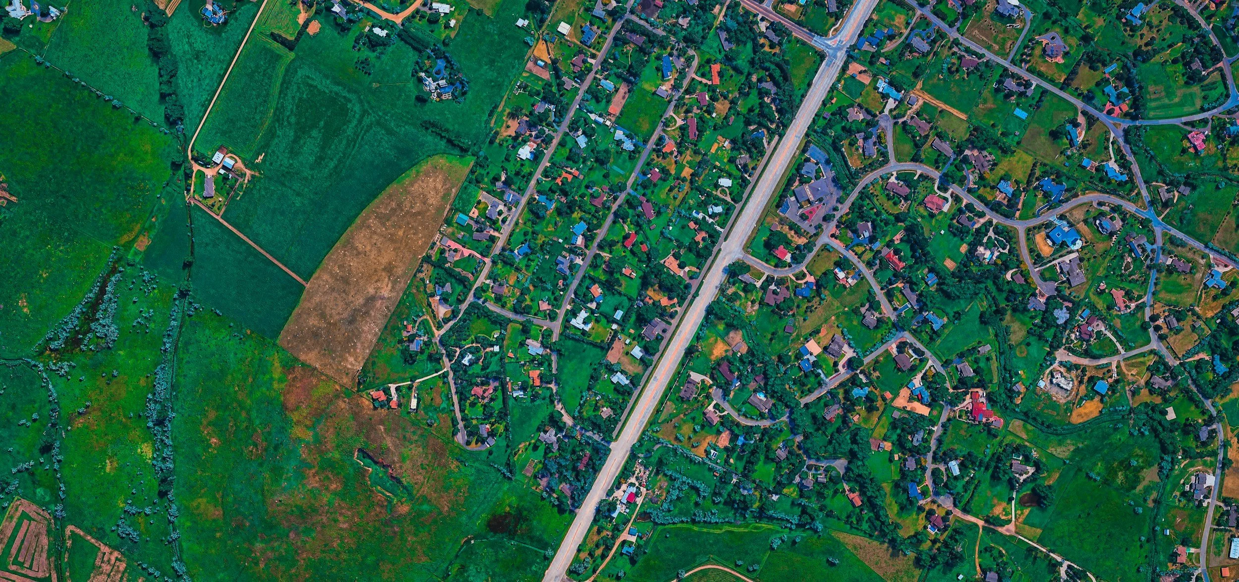
Remote sensing and aerial imagery processing
Real-time location intelligence and sensor fusion
Predictive analytics and machine learning models
3D modeling and digital twin creation
Mobile data collection and field workforce management
API-driven platform for custom integrations
Benefits
Improve operational efficiency with accurate, up-to-date spatial data
Reduce risk through predictive maintenance and hazard modeling
Enhance situational awareness for emergency response and planning
Support regulatory compliance with auditable data workflows
Scale geospatial operations using cloud-native, API-first architecture
Typical use cases
Utility asset inspection and outage management
Urban planning, zoning, and infrastructure development
Environmental monitoring and natural resource management
Emergency management and disaster response
Transportation planning and corridor analysis
Site selection and supply chain optimization
Deliverables
Customized GIS datasets and metadata
Interactive web maps and dashboards
Spatial analysis reports and predictive models
Mobile applications for field teams
API access and developer documentation
Training, support, and managed services
Contact us to discuss how GERANIUM GEOSPATIAL SOLUTIONS can help you turn location data into strategic advantage.